| Ref: Alan Kane's
Scrambles
in the Canadian Rockies |
|
|
|
|
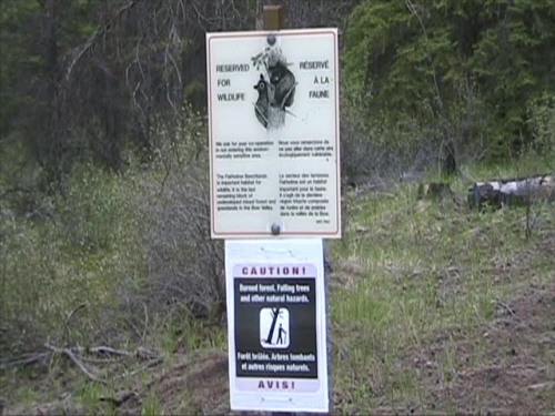
Trailhead. |
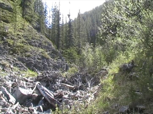
| Scramble: RT 12.0; 7.5 up. Yeahhhhhhhhhh,
finally. After living in Banff for nearly 10 years (a while back) and
looking at it all this time, it is very special to have had the best
conditions and opportunity to summit this beautiful mountain. We almost
did not go after reading a sign at the trailhead that dissuades hiking
in the area for the preservation of wildlife such as cougars. We
started to justify ourselves: we didn't plan an alternative, we drove
from Golden and didn't know, we'll be in and out and keep the dog
really close, we really want to go up there... Next thing you know, we
were off. It was worth it. It was easy to control Winston in the
confinement of the approach drainage. After 4
hrs of
O.K. bushwhacking within earshot of the creek, we arrived at the fork
where the descent gully (alternate descent) meets the trail. We were
all good to continue,
the going was nice and there was some snow patches for the pooch. Our
ascent line near the top differed a bit from Alan Kane's described
route. We cut left and traversed below a major rockband to a gully
system because we were uncertain of the traverse above (which is
probably very similar). There is some easy route finding near the top;
I stowed my poles because I needed my hands for a
section. It is very loose in some places. Winston was pooped and "out
of place", he did
not pull at the end of his leash. The final summit plod on the ridge is
exhilarating, the sheer drop on the back side is breath taking. We
stayed at the summit for a while. Winston coiled up for a well deserved
rest and we soaked in the view, appreciating every moment! This was
quite the accomplishment for all of us. We admit this outing was a bit
much for our very fit work dog, he wasn't too keen on the
upper mountain. We returned via the gully which was fast and relatively
easy. |
|
 |
|
Visible trail. |
|
 |
|
Hiking in the
drainage. |
|
 |
|
Winston with his
booties. |
|
 |
|
Looking back, coming
out of the canyon. |
|
 |
|
Our objective still
quite distant. |
|
 |
|
We traversed under
the rockband to meet the ascent gully. |
|
 |
|
After 4 hours of
hiking, we stand where the alternative descent joins the trail. |
|
 |
|
|
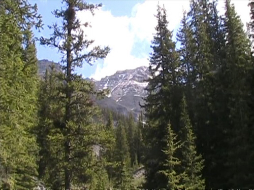
We continue towards
Mount Girouard. |
|
|
 |
|
|
Mount Girouard. |
|
|
 |
|
|
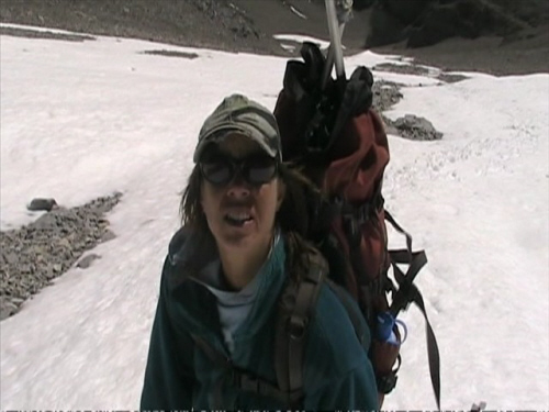
Winston rolling in
the snow and cooling off. |
|
|
 |
|
|
Heading towards the
traverse. |
|
|
 |
|
|
Looking down the
alternate descent. |
|
|
 |
|
|
Winston is staying
close in the gully. |
|
|
 |
|
|
Almost on the ridge,
steep terrain. |
|
|
 |
|
|
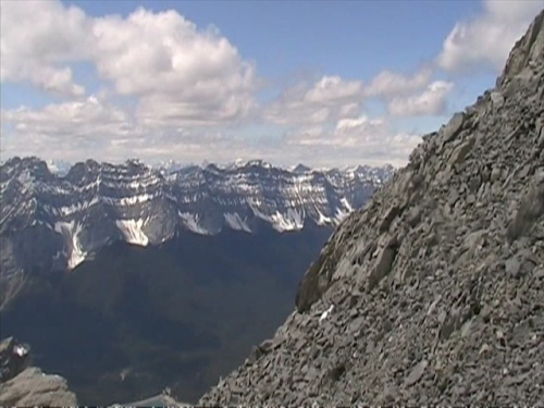
Awesome view towards
Rundle. |
|
|
 |
|
|
Looking east, at
last on the ridge. |
|
|
 |
|
|
On the summit ridge. |
|
|
 |
|
|
Yeahhhhh! Summit
cairn just ahead. |
|
|
 |
|
|
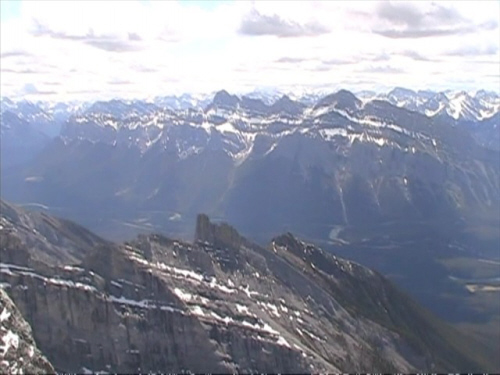
Lake Minnewanka and
Mount Costigan. Devil's Head appears on the left margin of the picture. |
|
|
 |
|
|
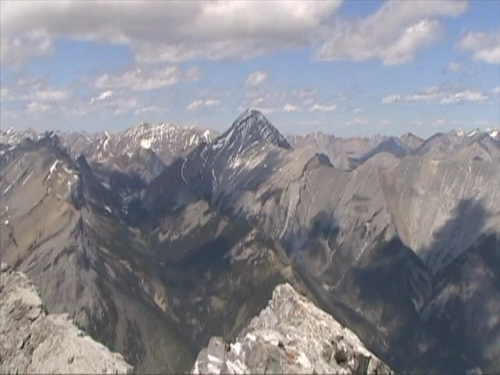
Mount Aylmer. |
|
|
 |
|
|
Mount Cascade. |
|
|
 |
|
|
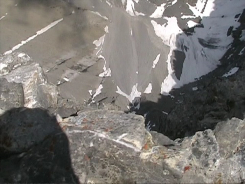
Straight down the
sheer east side. |
|
|
 |
|
|
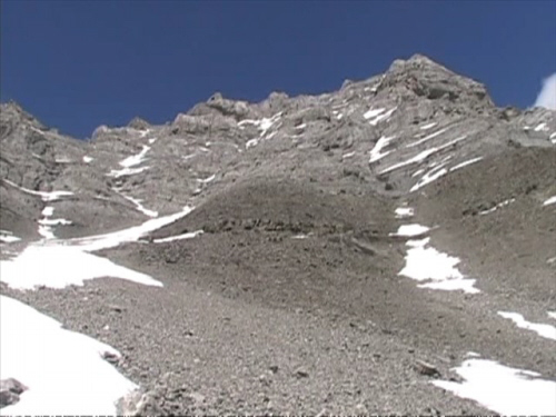
Looking back at the
descent from the summit block. We stayed mostly on snow in the gully
(left). |
|
|
 |
|
|
Continuing down the
gully to meet the trail. We're still far from the car! |
|
|
 |
|
|
Successful, safe and
sound. Cheers!!! |
| Back
to home page |
|
|